In March 2019, the EO4SD Fragility, conflict and security consortium started supporting the work of the World Bank Development Impact Evaluation team (DIME) in the context of the Boko Haram crisis in Niger. Following attacks from the terrorist group in the region, Nigerian refugees fled to settlements in the southeastern part of Niger, in the Diffa region. The objective of this collaboration was to assess the impact of the refugee flow through the built environment.
Using satellite images, including Sentinel products from the European Space Agency, consortium member UNOSAT analysed the evolution of the number and type of man-made structures in various locations of the area, including Chetimari, Bosso, Gueskerou, Maïne-Soroa, N’Guigmi and Kindjandi. These analyses showed an increase of up to 386% of man-made structures from 2014 to 2019.
This indicator proved to be a good proxy to evaluate the consequences of the crisis even if not all urban change in these zones could be attributed to the migration. In addition to urban extent, the goal was also to monitor the evolution of the number of metal roofs. The underlying assumption was that an increase in their number can be linked to more wealth in the community since people tend to buy such roofs when they have enough money to do so. This is because metal roofs require less maintenance and are more hygenic than thatched roofs.
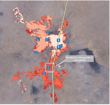
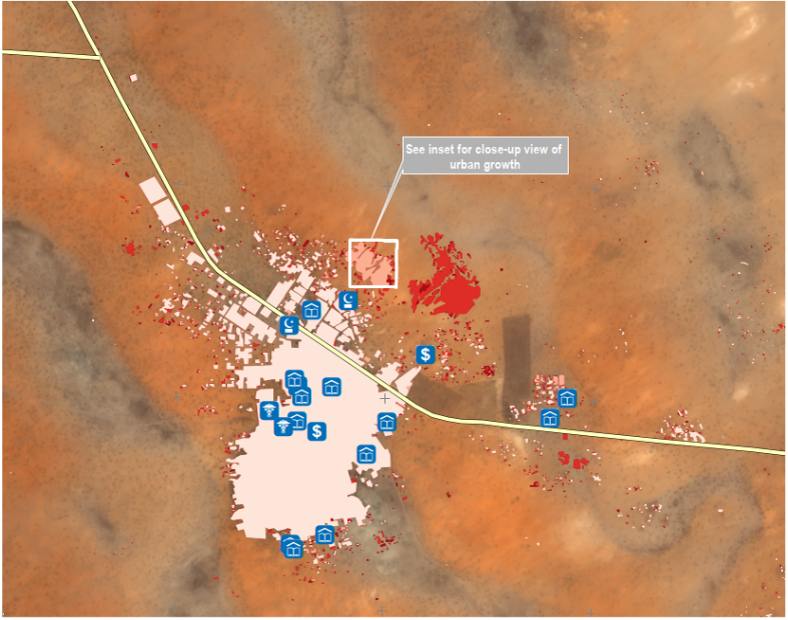
Extract from the Kindjandi analysis Extract from the Maïne-Soroa analysis