On the 9th and 10th July 2019, members of the Fragility, Conflict and Security (FCS) cluster organized and delivered a workshop on Earth observation technology and its application to support FCS activities.
The workshop was graciously hosted by the Instituto Geográfico Agustín Codazzi (IGAC), with support from the World Bank Colombia country office. Participants included members of the World Bank, IGAC, and the Instituto de Hidrología, Meteorología y Estudios Ambientales (IDEAM)
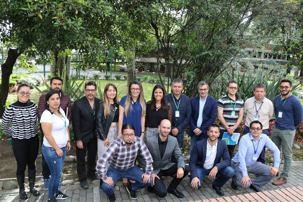
Participants of the 2-day EO4SD FCS workshop held on July 9th ad 10th, 2019 in Bogota, Colombia. Participants include members of Instituto Geográfico Agustín Codazzi (IGAC), Instituto de Hidrología, Meteorología y Estudios Ambientales (IDEAM), and FCS consortium members
Hatfield Consultants led the workshop for the FCS consortium. Attendees of the 2-day workshop included IGAC’s experts from the cadastral, cartography, and geographical studies divisions as well as GIS and remote sensing analysts from the Colombia Center of investigation and technological innovation (CIAF) and from the Colombia National Planning Department (DNP). Biologists and engineers from the Ecosystems and Geographical subdivisions of the Instituto de Hidrología, Meteorología y Estudios Ambientales (IDEAM) and from the regional World Bank office also attended the two-day event. In total, more than 30 participants attended the workshop and were exposed to the latest remote sensing techniques to support the development priorities of the Government of Colombia.
The objectives of the workshop included:
- Transfer of knowledge regarding the latest remote sensing technology, and a review of existing cloud processing platforms.
- Advance the adoption and integration of information services based on remote sensing technologies in the different areas selected for the FCS Phase 1 trials.
These priorities included, cadastral mapping to support the establishment of property rights post-conflict, environmental monitoring of critical wetland habitat, and understanding migration dynamics through monitoring urban growth over time.
The workshop included practical hands-on training on the selection and preparation of satellite optical images to provide cadastral information and on the analysis of Big Data and available cloud-processing platforms.
Open source software to process commercial and open satellite data was of high interest to participants as well as the overview of the latest cloud-processing platforms. IGAC and IDEAM expressed interest to further develop expertise in the themes presented at the workshop for Phase 2 of the EO4SD FCS project. Further capacity training activities ranging from radar processing to machine learning and big data and cloud-processing platform were requested. Further discussion with the World Bank, IGAC, IDEAM, and other organizations are ongoing in preparation for the next phase of the project.