The Fragility, Conflict and Security consortium’s successes in its first year of activities pave the way for future achievements in the coming years.
This was the main takeaway from the Service Cluster Readiness Review at the ESA Centre for Earth Observation (ESRIN). The ESRIN meeting was also the last meeting with Gordon Campbell as the Technical Officer because he is moving to another job for the European Space Agency. Our new Technical Officer is Michela Corvino.


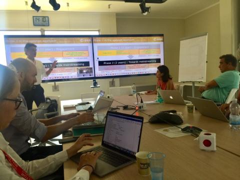
Project lead Jean-Yves Lebras presenting project achievements to Gordon Campbell and Michela Corvino (to the right) and the FCS team.
Michela takes over the responsibilities for a cluster with undoubtedly positive results from initial stakeholder engagement activities and early service trials. Consortium members reported high interest from stakeholders such as the World Bank in several priority areas, proving that Earth Observation (EO) based information is a real need for international financial institutions working on issues of fragility. Eight different early trials were completed, clearly demonstrating how Earth Observation can support development projects in states affected by fragility.
Early trials in the Lake Chad region were successful. Our team has supported the World Bank with data on refugees from Nigeria in the Diffa region, and trials in Chad demonstrated how EO can be used to detect changes in land cover. Trials in Iraq have focused on agriculture land mapping and water level mapping in key water reservoirs. In Colombia, the World Bank wanted to see how migration from Venezuela might have impacted urban areas and the Geographical Institute of Colombia (IGAC) wanted to see the EO data’s potential for cadastral information extraction. In addition, an early trial to see how EO data can provide information to better understand and monitor the wetland ecosystem of Orinoquia successfully demonstrated the potential of EO data use for this purpose. Finally, although trials in Pakistan were expected, we instead got to do an additional trial to explore how EO data can be used to detect ships that are not being tracked by traditional transmission systems.
In the coming years, the consortium will focus on reaching and engaging new relevant stakeholders who might benefit from service trials and give new dimensions and insights to further the capabilities of the service providers. Not only will we see new results from services delivered in various contexts, but we will also show how modern capacity building approaches can deliver for people working with or within states affected by fragility. Ultimately, what we want to see is stakeholders actively using EO-based information to meet their geospatial data needs in states affected by fragility.

