The consortium has been working with the World Bank to demonstrate how Earth Observation data can be useful in the planning, implementation and evaluation phases of projects related to agriculture and water resources in Iraq. A part of this work is to increase awareness and competencies about geographic information technology in general to ensure continued engagement and development in the future.
An online training event was organized by UNOSAT with the support of SIRS between 7 and 8 December 2020 to strengthen agricultural remote sensing capabilities in Iraq. The 2-day course took the form of a multi-level awareness-raising event starting with a plenary session and including e-learning material in Arabic as well as interactive webinar sessions with live Arabic interpretation. The participants all came from the Iraqi Ministry of Agriculture’s departments such as the Agro-Ecological Zoning Department and the Agro-Meteorology Department.
The course focused on reaching the following objectives:
- Explaining the basics of remote sensing
- Better understanding the capabilities and limitations of earth observation technologies
- Listing some existing commercial and open & free tools
- Listing some of the potential integrations of remote sensing products and services in various phases of agriculture, from project design to evaluation
- Sharing knowledge of a broad selection of practical applications of remote sensing and GIS technologies that support key sectors of Northern Iraqi agriculture, aquaculture, and agro-environment.
The 26 participants were offered original and tailored training material as well as links to information, articles, books and references to cited applications. The training content touched upon remote sensing basics, imagery, open access tools, and the creation of actionable farming intelligence. Efforts were made to share research conducted in Northern Iraq and the Iraqi agricultural context in such key production sectors as cattle, sheep, goats, vegetables, and cereals. The interactive sessions taught participants how to analyze satellite imagery from an agricultural point of view, and how to download Sentinel data and perform basic analysis.
Participants have been provided with access to an online community of practice platform to ensure sustainability. They also completed a final assessment and 22 of them were awarded a certificate of completion based on their grades.
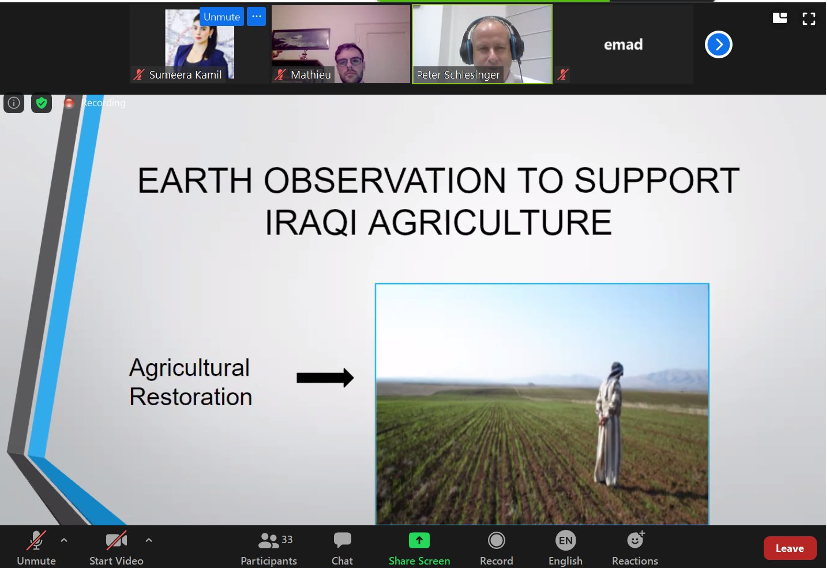
Screenshot of the plenary session, showing a presentation by Peter Schlesinger, UNOSAT consultant, attended by 33 participants.